The following command was used: (to establish order)
differ -stats -2 2 0.05 -xplot -first longreach_em3000.r4 -second longreach_ascii.r4 -out longreach_differ.r4
The minimum and maximum of the histogram space is -2m to +2m and the statistical results are shown at the bottom of this page.
For a systematic look at the largest differences go to the 95% Comparison Page
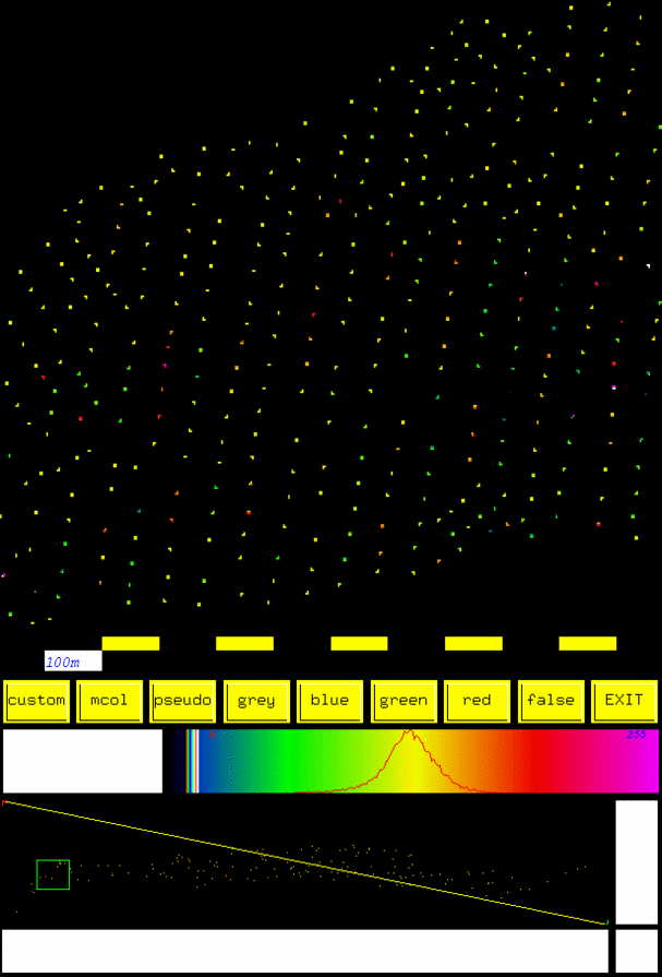
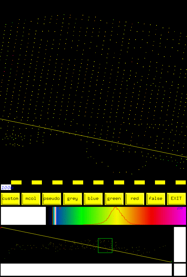
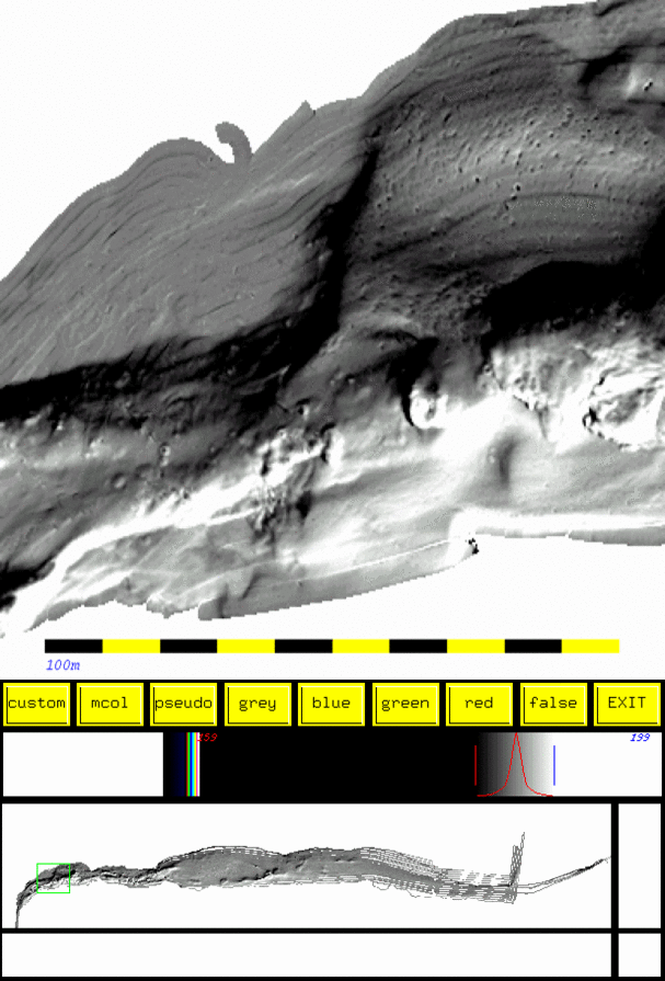
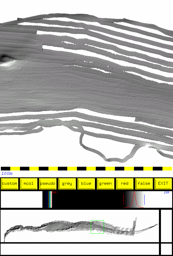
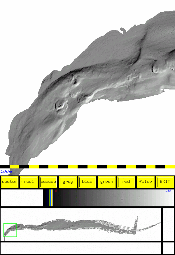
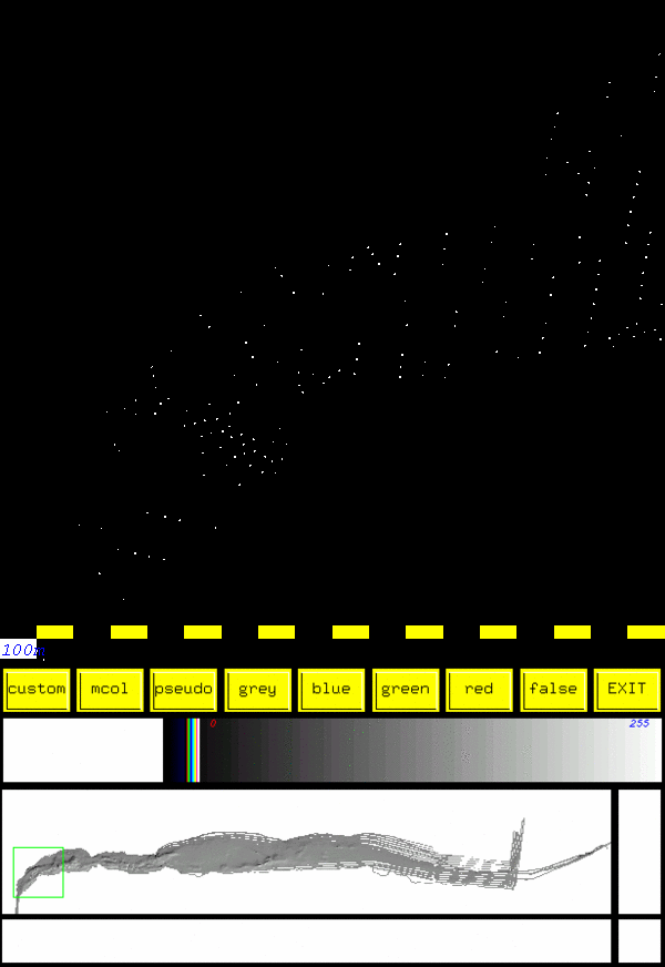
OMG software was of course used for the processing of the the data and the fancy imagery was made using Imagemagick.
(More to come...)
avdiff : 0.219664
stdv : 0.359944
stdv2 : 0.362121
95pc 0.719887 0.724242 : NZ Orders 0.269547 0.404320 0.539094 0.673867