Comparison of CHS Single Beam data
with
OMG Hydrocamp 2004 Multibeam

in Longreach N.B.


95% Confidence Images


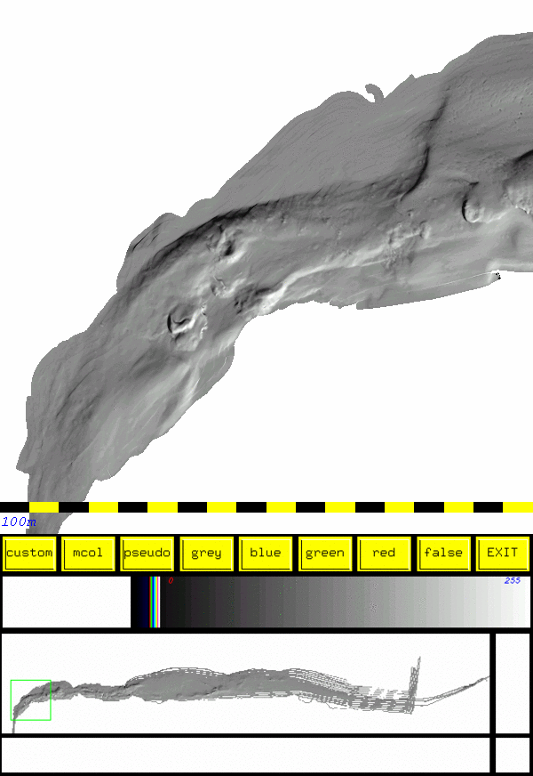
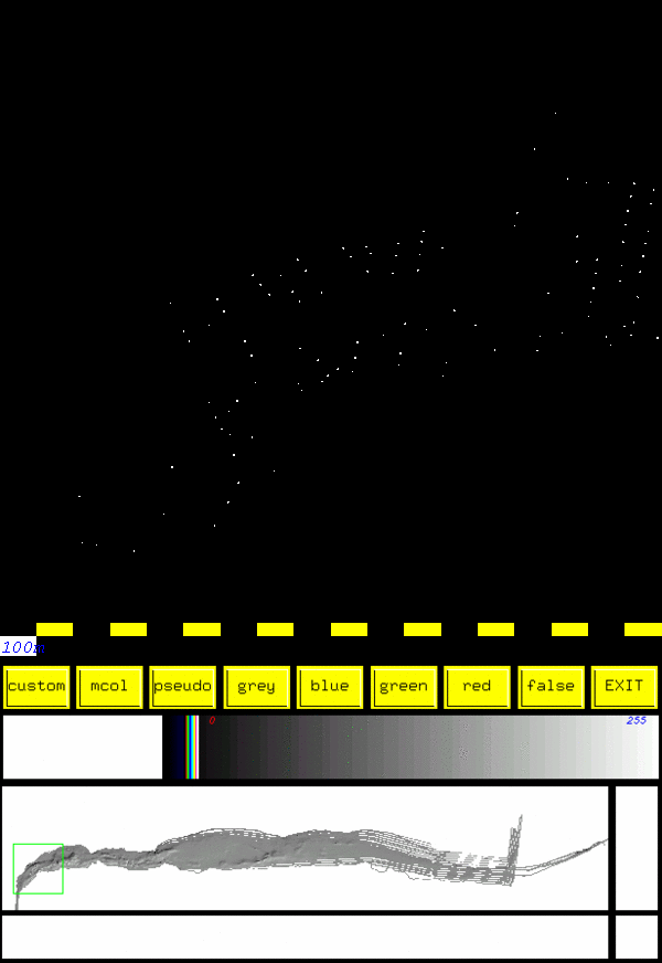
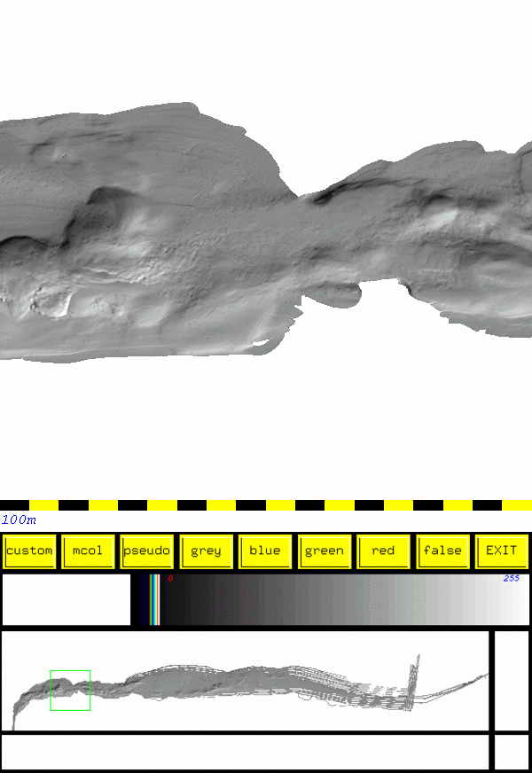
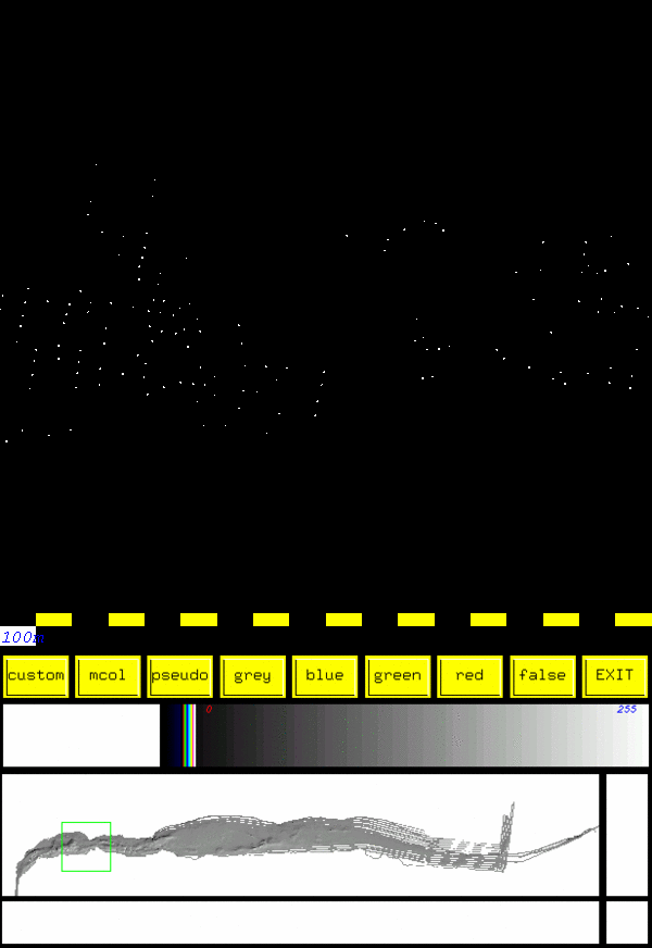
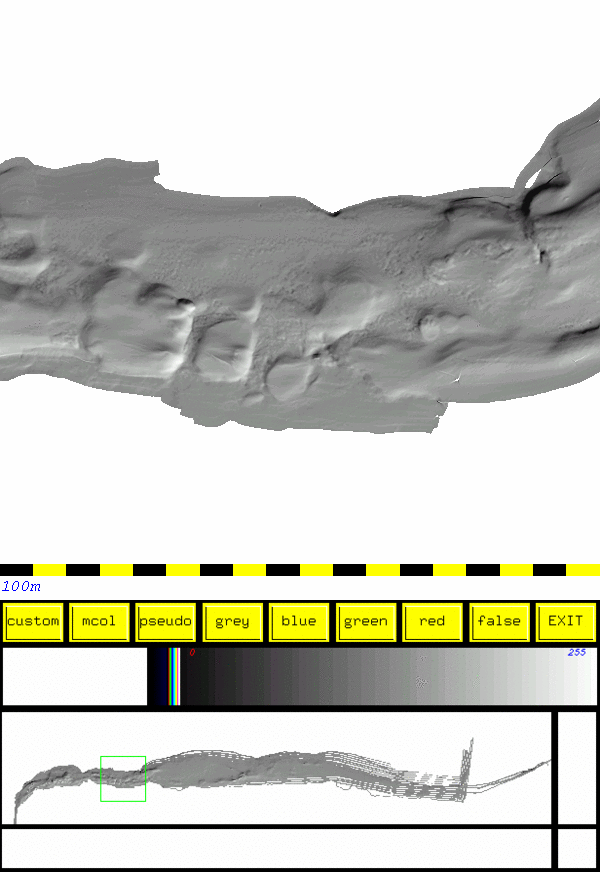
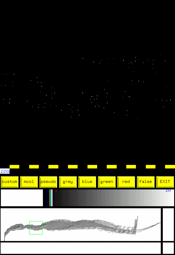
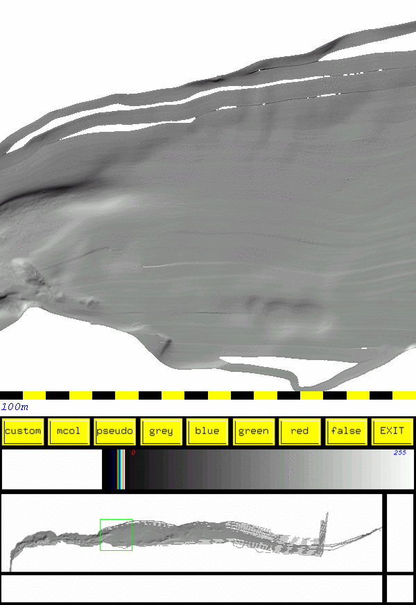
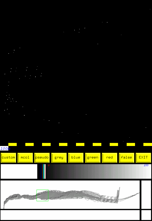
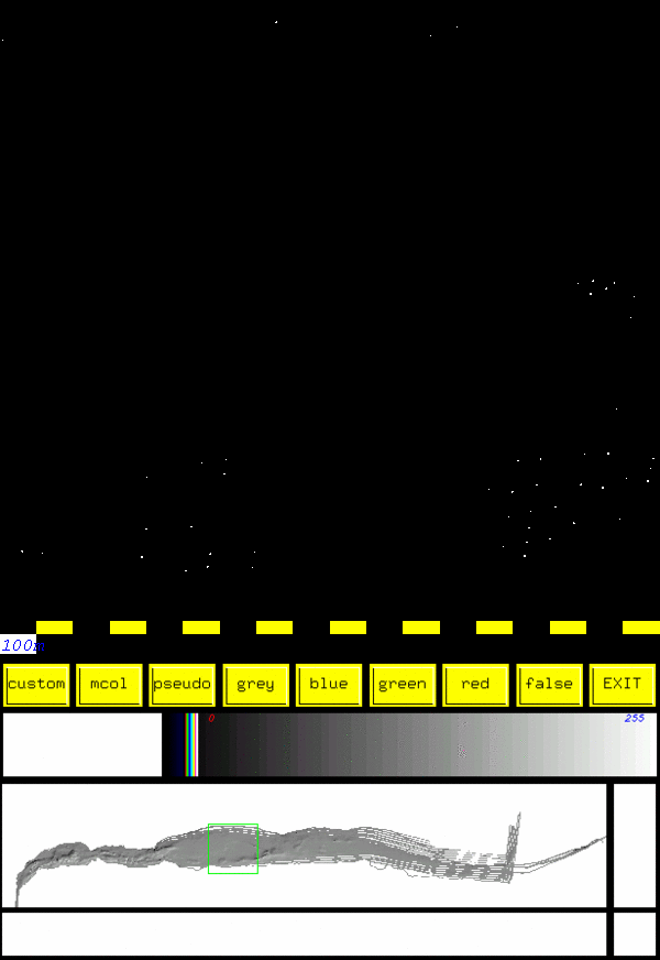
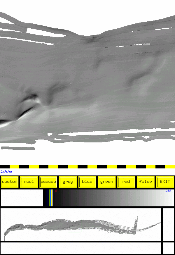
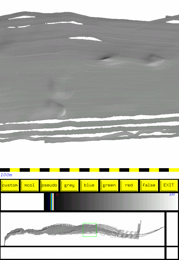
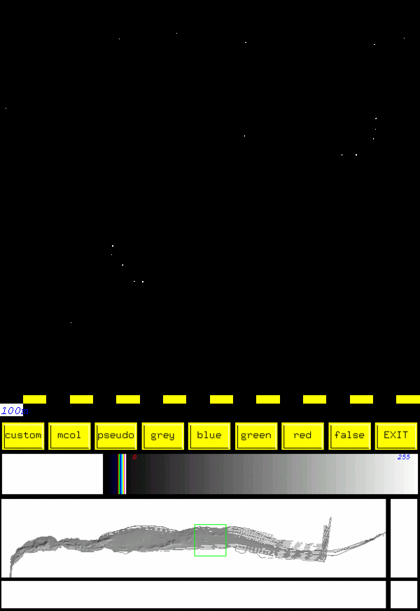
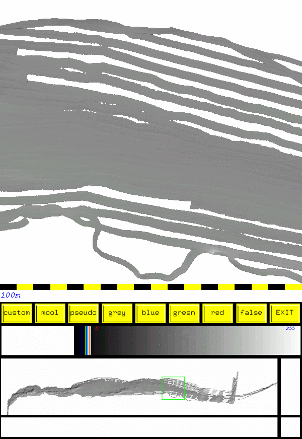
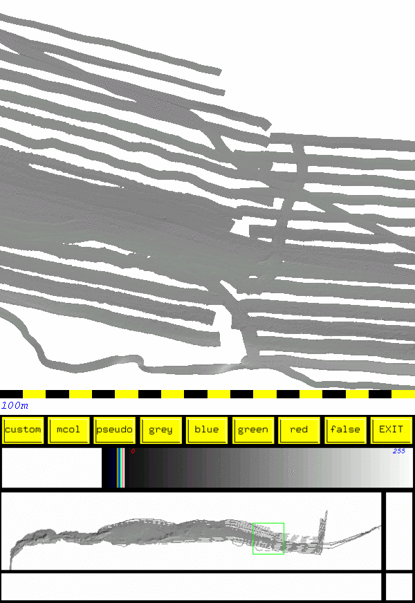
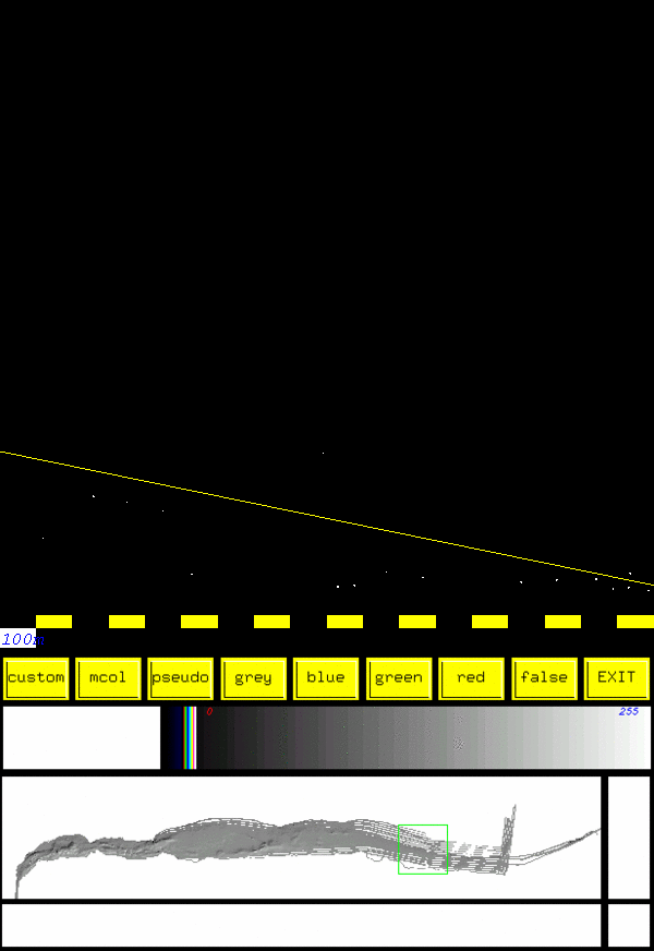
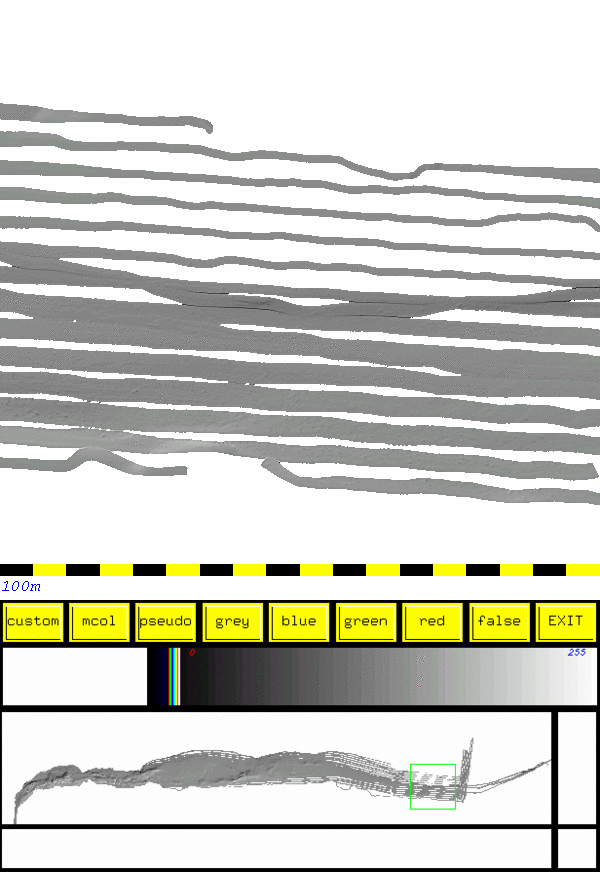
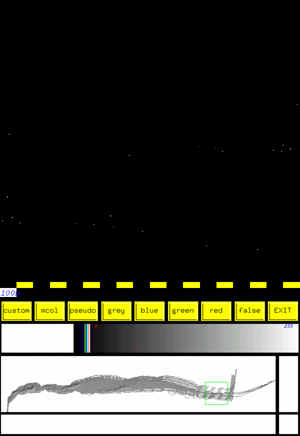
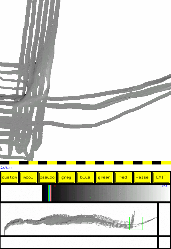
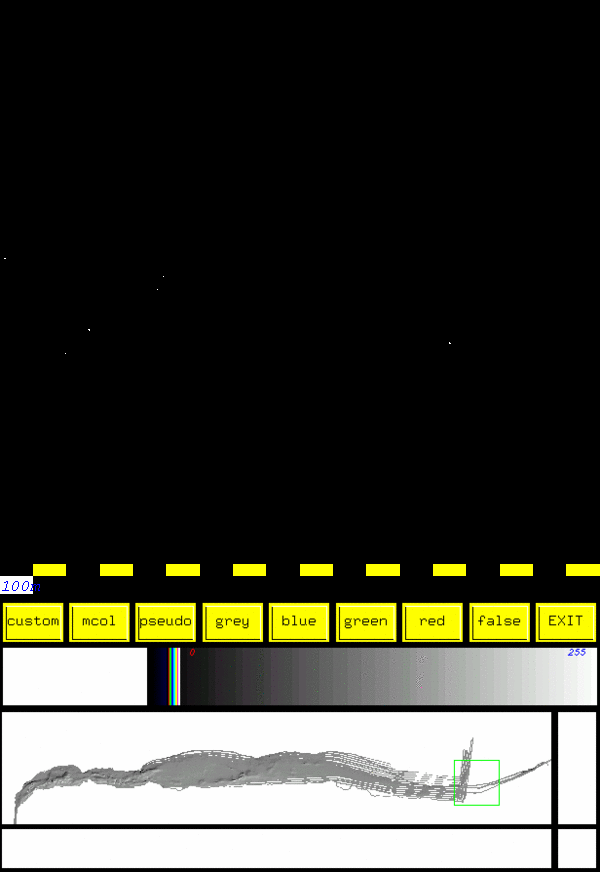
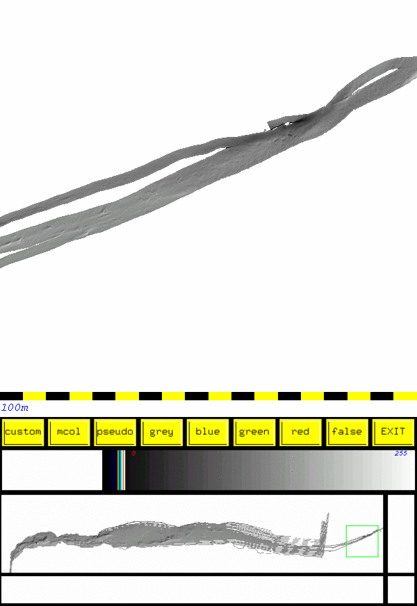
The following image pairs show the locations of points that were over the 1.96 sigma level for error. That is to say, all the points seen here comprise the 5% of soundings with the largest differences.

Appearing on the left is a sun illuminated image providing a reference for the points on the right.
The white points on the right hand image show CHS soundings that were more than 1.96 sigma (0.705m in this case) different than the Hydrocamp 2004 data.

The bottom portion of each image shows the overall location within Longreach.


A few notes:
  • The largest discrepancies occur where a CHS sounding line crosses a slope.
  • This seems to suggest that there was either a positioning error along track or a transducer orientation issue.
    • (Check animation at bottom of this page to see opposite errors coming from opposite directions)
  • Errors don't seem to be depth dependant.
  • There are relatively few problems where the river bed is flat.


January 31, 2005 -- steveb at omg.unb.ca