Shippagan
Bay Survey 2003
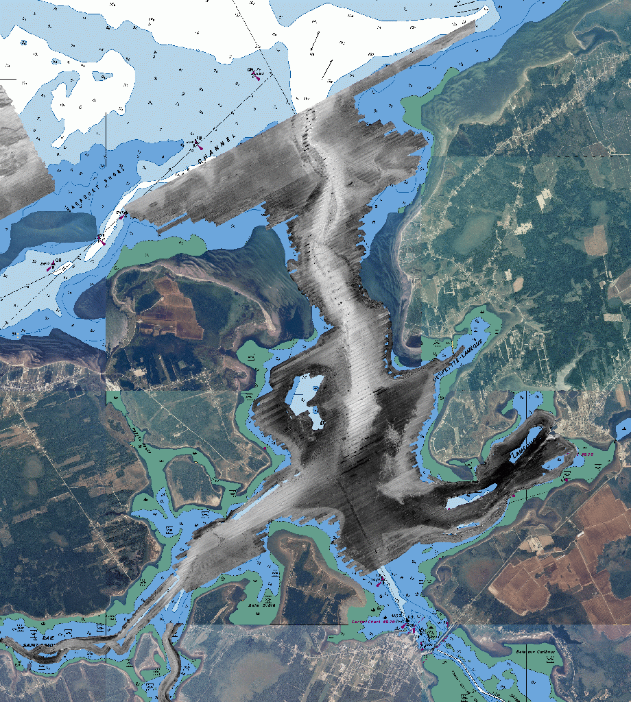
Between July 2nd and August 13th 2003, a multiparameter acoustic
survey was conducted of Shippagan Bay and the area north of Caraquet
Island. The survey was carried out as part of a joint research project
between the Gulf Fisheries Centre (DFO, Moncton) and the Ocean Mapping
Group (UNB, Fredericton). The aim of the survey was to test the
effectiveness of acoustic mapping tools for the purposes of delineating
seabed habitat.
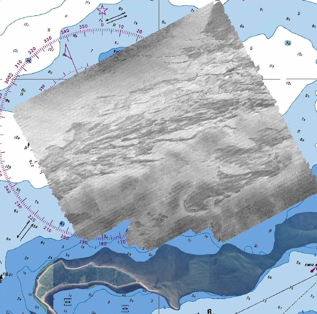
The survey revolved around the use of the C.S.L. Heron, a
10m survey
launch belonging to the Canadian Hydrographic Service (DFO Science,
Bedford Institute of Oceanography). The Heron has been outfitted by the
Ocean Mapping Group with a
variety of sensors to test software algorithms developed at the OMG.

The main survey was focussed within Shippagan Bay. The Bay is
approximately 15 km long in a north south direction and the main
exchange of water is to the Bay of Chaleur to the North. A small, but
not insignificant exchange of water takes place through Shippagan
Gully to the South, bringing in water from the main Gulf of St.
Lawrence. The area is one of extensive inshore fisheries (lobster, crab
and herring) as well as acquaculture (mussels and oysters) and is there
are a significant number of fish processing plants that discharge
effluent into the bay.

In addition to the main Shippagan Bay, survey, a second survey was
conducted to cover a region north of Caraquet Island where there
has been extensive groundtruthing. In this area, video-tow, grab,
towed sidescan and QTC view echo character data have been
acquired. The aim is to compare the data collected by the Heron with
previous attempts to characterise seabed habitat.
These web pages allow DFO and UNB scientists, as well as members of the
local community, full access to all the processed data acquired as part
of the project. Additional data including ADCP current meter and MVP-30
underway CTD information will be posted as it becomes available.
The data presented here are initial in nature and will be subjected to
continual reprocessing as part of research within the Ocean Mapping
Group.
To access the full resolution 1m data go here.
To access the 2m data, including
subbottom profiling, go here.
last modified 29th September 2003
by John E. Hughes Clarke.