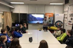
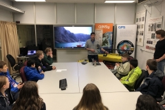
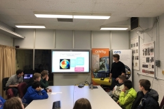
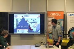
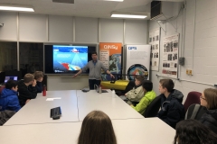
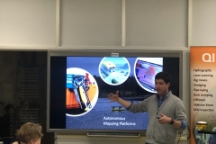
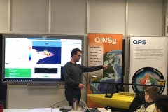
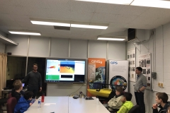
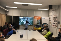
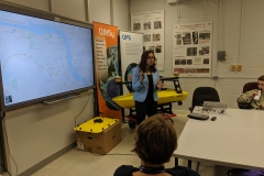
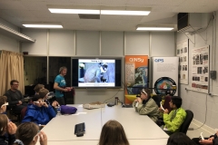
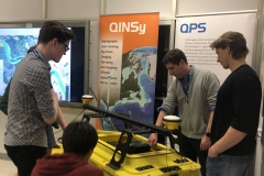
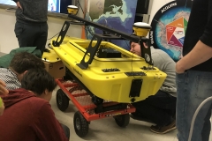
Dr. Ian Church (UNB), Dr. Shabnam Jabari (UNB), David Fraser (UNB), Marc Fortner (UNB) and Kurt Hamlyn (QPS) gave a presentation to two groups of participants of the Canada Wide Science Fair on the subject of Mapping the Earth’s Surface in 3D. They discussed underwater mapping using sonar and autonomous platforms, satellite remote sensing and applications, and 3D visualization. QPS brought along the EchoBoat, which was a hit with the students, and showed off a replay of some recent autonomous multibeam sonar data collection.
The presentation covered the following:
Ever wonder about measuring the depths of the oceans, or how Google Earth gets its data, or the science behind 3D viewing? In this activity, we will first describe the technology behind how Google Earth gets its images. We will then examine how we measure the depth of our oceans and showcase equipment that can be used to look for shipwrecks on the seafloor. Finally, we will introduce some of the exciting 3D technology being developed at UNB and use this technology to explore underwater canyons in the Saint John River.
It was a great afternoon of sharing our technology with a younger generation, and we’re looking forward to doing it again!

