Southwest New Brunswick Basemaps Information |
 |
Basemap Series
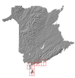
The data collected by several platforms is presented in the form of basemaps, with each map covering 2' of latitude and 2' of longitude. Data are gridded at a resolution of 1 metre. For perusal via the web portal, images are created in which depths are colour coded (based on the range of depths in the mapsheets) and the terrain is sun-illuminated. Grid files are available for download in ESRI grid format (.flt and .hdr files for each mapsheet, downloaded as a zipped .tgz archive file).
Map Projection
The New Brunswick Double Stereographic projection is used for the Basemap series of mapsheets.
Datums
Horizontal datum: NAD83
Vertical datum: Vertical reduction of soundings is poorly documented (and often in error) as many of the source data were compiled by students. In the future, application of tides from the WebTide model may be considered.
For more information, please contact Ian Church.
Last modified: January 9th, 2007, by J. Beaudoin